September 12, 2022 September 12, 2022What Is LiDAR? A Brief ExplanationFrom measuring to mapping, LiDAR utilizes many different platforms including UAVs (drones), manned aircraft, boats, trucks, and even backpacks! And LiDAR is used for a wide variety of purposes [...]
September 12, 2022 September 12, 2022What Happened at Commercial UAV 2022 in Las VegasPhoenix LiDAR Systems came into Commercial UAV Expo 2022 in full force, bringing new innovations […]
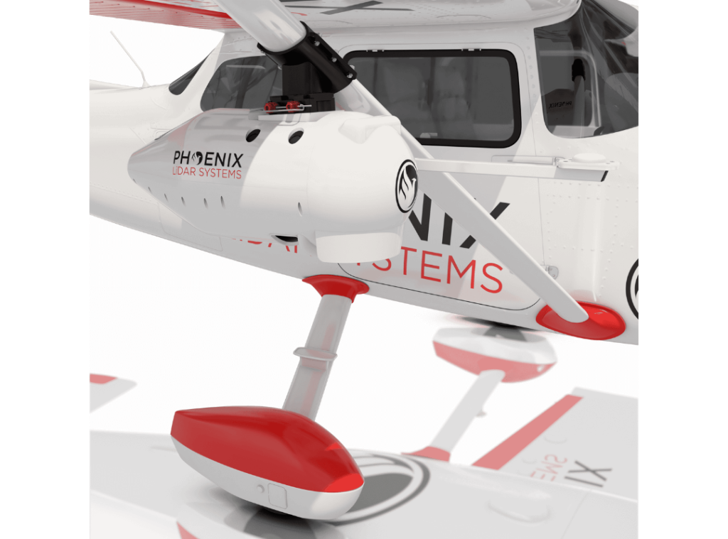
September 9, 2022 September 9, 2022Protect Your LiDAR System with the Cessna PodLeverage the sleek, aerodynamic pod for enhanced protection of your RANGER-XL. […]
August 29, 2022 August 29, 2022PIONEER-360 is New and ImprovedThe PIONEER-360 is the tool of choice for UAV and Mobile applications where there is no room for compromise in data quality. […]
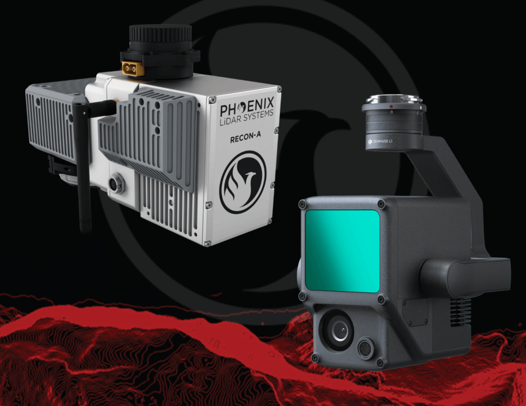
August 22, 2022 August 22, 2022RECON-XT Now Mobile Mapping CompatibleNow, with the introduction of the Mobile Mapping Kit for RECON-XT, users can take their system from air to ground vehicle […]
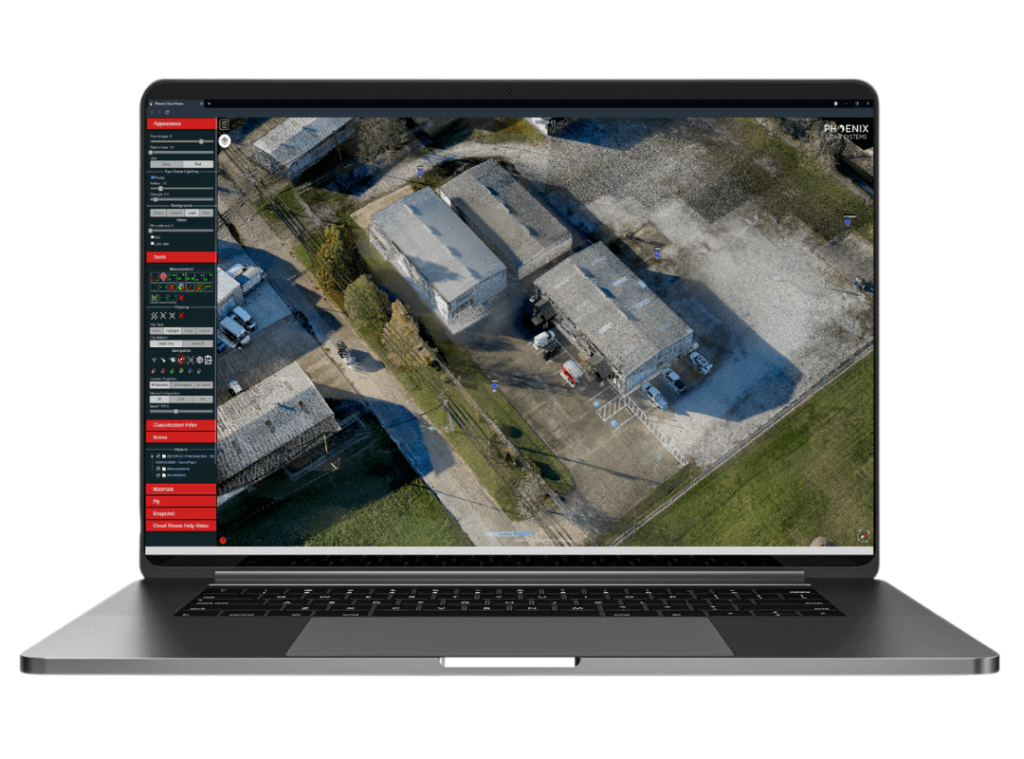
August 11, 2022 August 11, 2022FREE 1 Year Subscription to LiDARMill Post-Processing Software!Precision laser mapping and post-processing has never been easier. Our elite LiDARMill cloud-based post-processing platform, […]
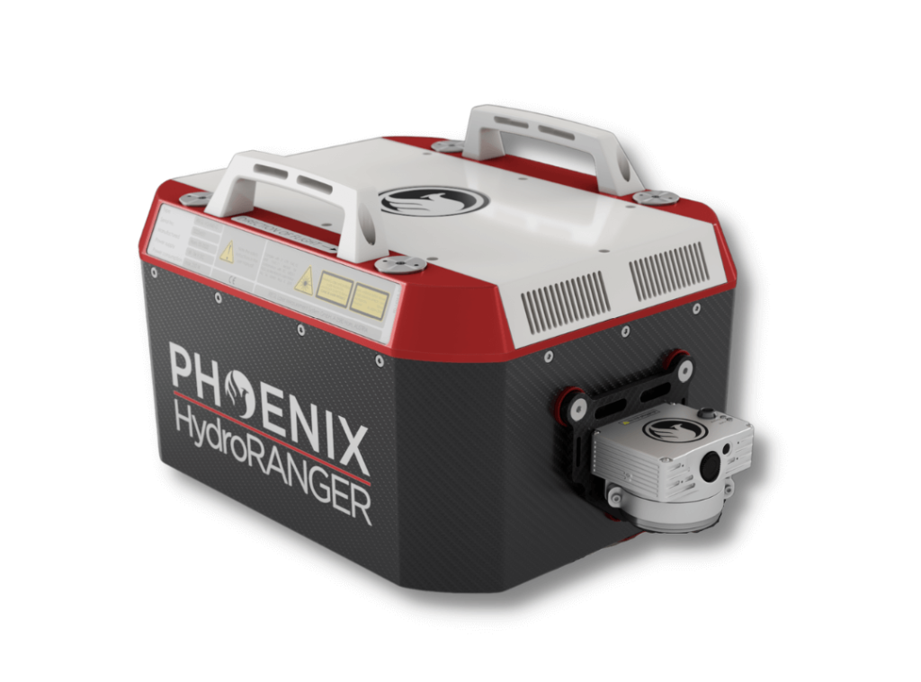
June 7, 2022 June 7, 2022NEW Bathymetric LiDAR System, the HydroRANGERNow more than ever, there is an urgent need for consistent bathymetric mapping in highly dynamic coastal shorelines […]
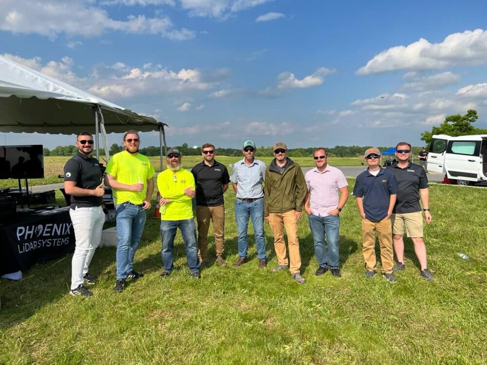
May 24, 2022 May 24, 2022First Annual AltaFest 22′AltaFest May 19, 2022︱Mullica Hill, NJ Thank you to the Freefly team for inviting us to present at this year’s first annual AltaFest! It was an […]


