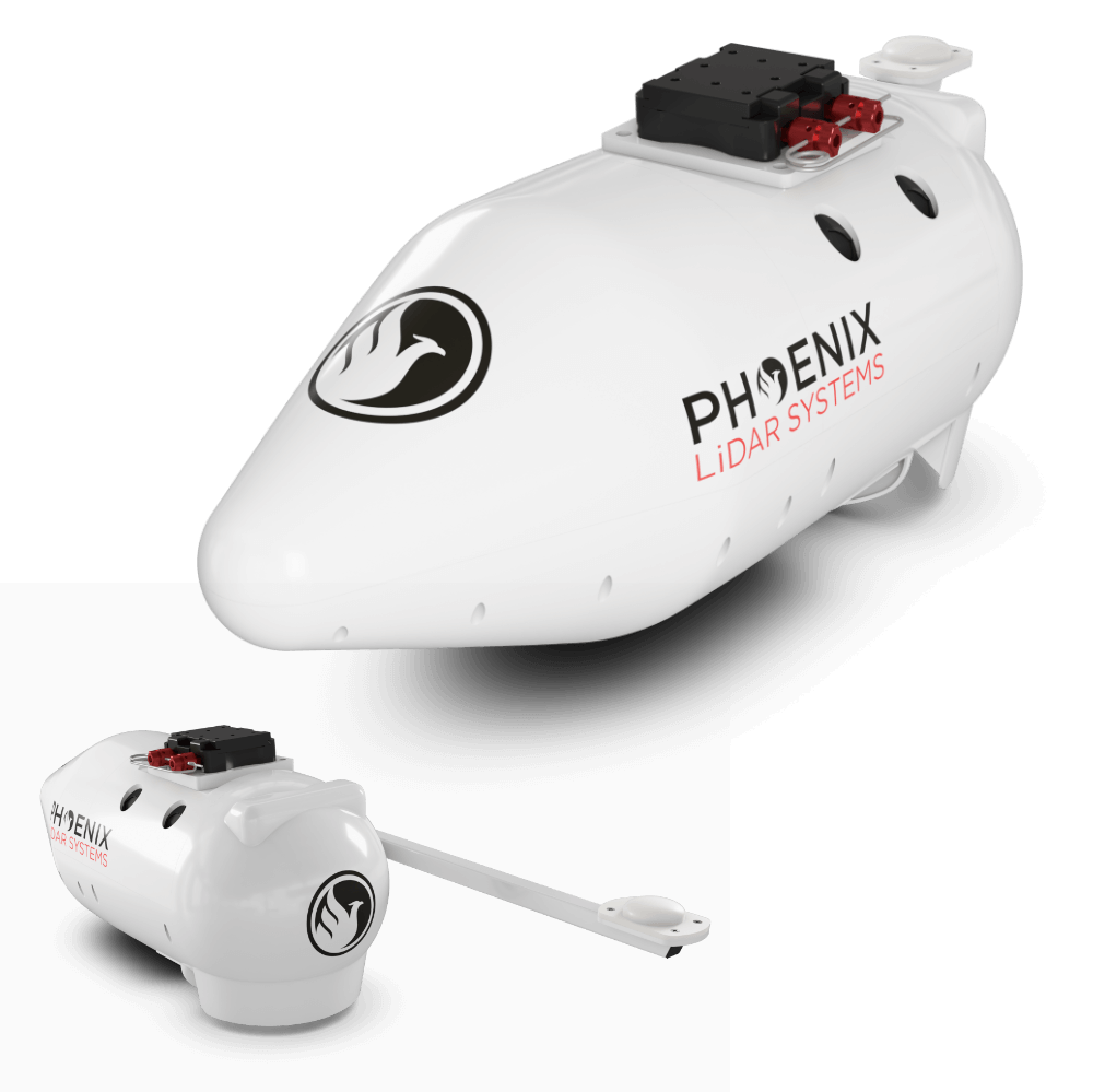
ULTRAPOD UP1
A COMPLETE SURVEY-GRADE LIDAR SOLUTION FOR CERTIFIED CESSNA AIRCRAFT
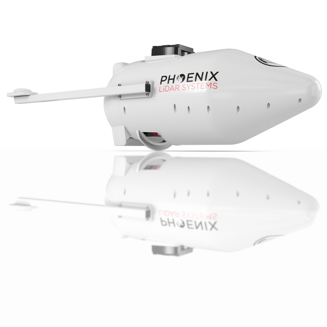
The NEW ULTRAPOD from Phoenix LiDAR Systems is a complete, turn-key, aerial solution designed to adapt to a wide range of mapping and survey missions.
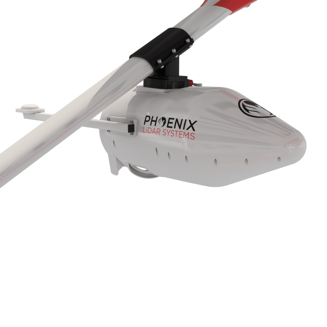
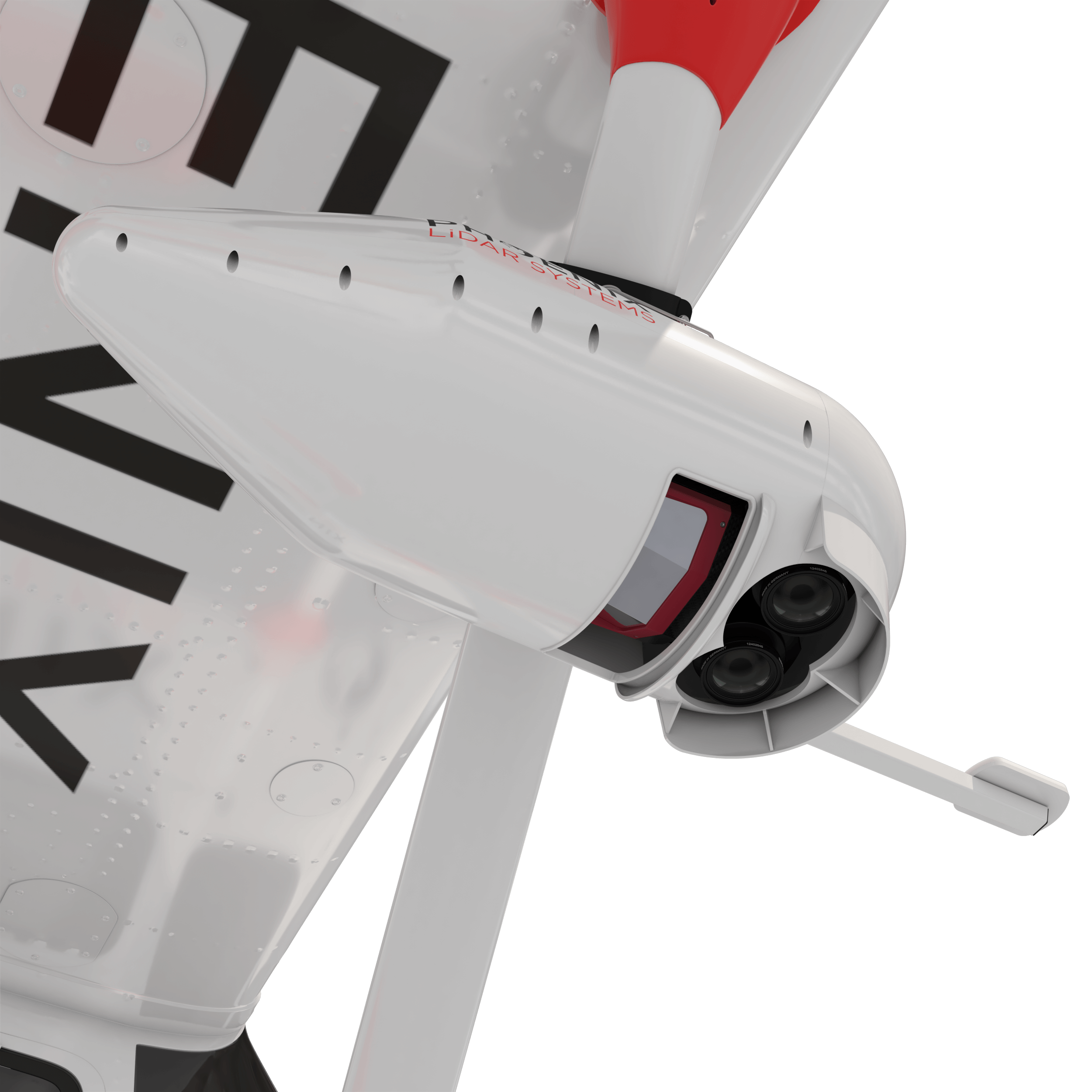
This lightweight and robust composite housing is FAA and EASA approved for Cessna 172, 182, and 206 aircraft, giving operators a user-friendly, flexible mounting solution for LiDAR payloads and cameras.
1.5-3 cm
RMSEz @ 120m Range
2400 kHz
Pulse Rate
12 km2/h
Area Coverage
1200 m
@ 20% Reflectivity
~15 kg
Max Payload
VIEW FULL SPECIFICATIONS
Laser
1550 nm
Accuracy
20 mm
Precision
15 mm
Pulse Rate
2400 kHz
Returns
32
Field of View
75°
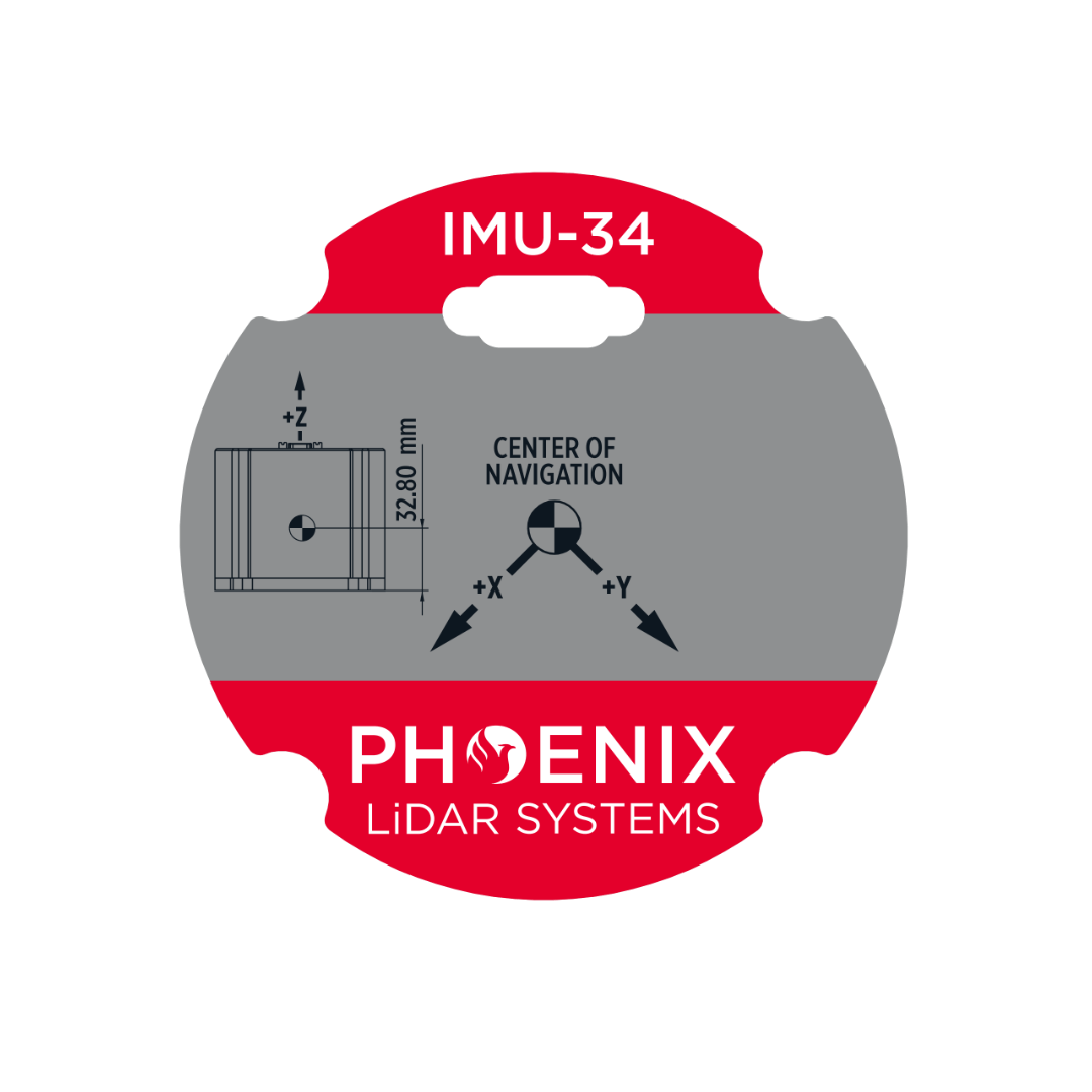
Heading Drift Rate
0.118°/hr
Recommended Max. AGL
1430 m
Range @20% Reflectivity
1200 m
Constellation Support
GPS, GLONASS, BEIDOU, GALILEO
Overall Dimensions
34.8 x 16.4 x 18.9 cm
Operating Voltage
12-28 VDC
Power Consumption
85 W
Weight
4.7 kg / 10.4 lbs
Operating Temperature
0 - +40° C
Primary Applications

Utilities

Forestry

Mining

Railway

Mapping
Primary Applications
Plane
Custom LiDAR Solutions
Build the system you need to meet the growing demands of your clients in varying industries, from mining to agriculture and construction to forestry.
-
Survey-Grade (cm-level) accuracy with 1200m+ laser range and outstanding intensity calibration on high altitude and high speed missions
-
Penetrates vegetation to produce accurate results
-
Complete Acquisition/Post-Processing training available (fees may apply)
-
Phoenix Software Suite compatible; plus NovAtel & Terrasolid options also available (fee may apply)
-
High accuracy due to precision IMU
-
Live/Remote Data Feed: View and analyze data in real time or transmit live data to remote viewers via 4G connection
-
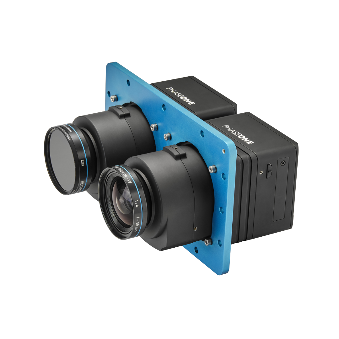
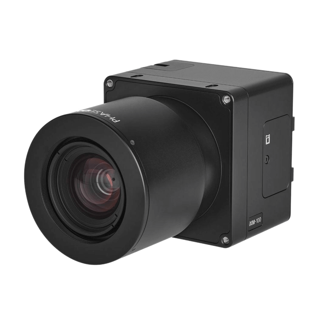
Single or Multiple PhaseOne Cameras
-
IMU and dual-GPS upgrade options for increased accuracy
-
Different LiDAR systems
-
Customized Sensor Integrations
-
Service plans
Accessories & Options

Flexible Mounting Options
The ULTRAPOD UP1 is designed for mounting on a wide variety of Cessna aircraft including 172, 182, and 206 models. Combine the power of the UP1 system with our industry leading MissionGuidance software to confidently and accurately execute manned data acquisition missions.
Point Density Speed & Altitude
