RANGER-UAV22 LITE
*In stock and ready to ship
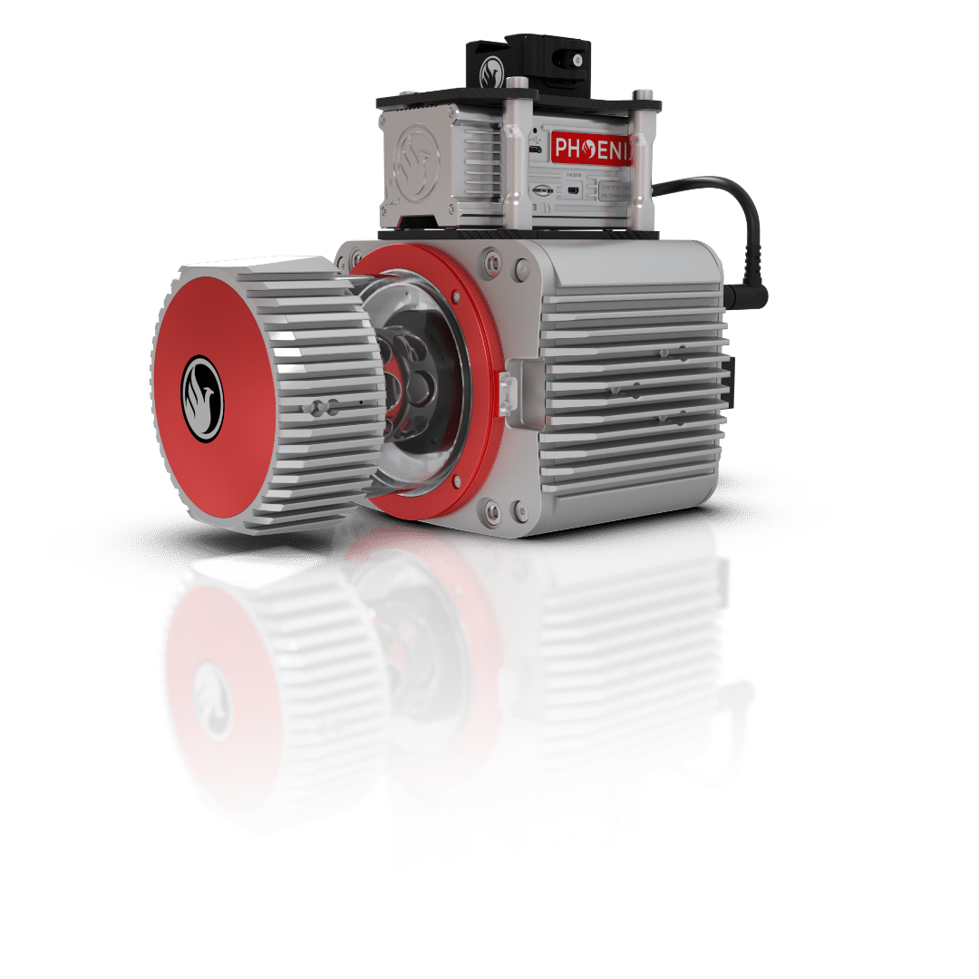
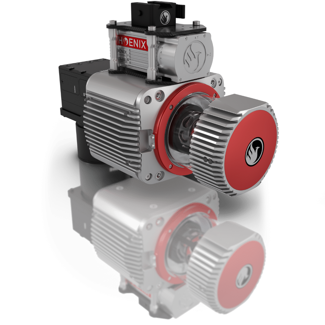
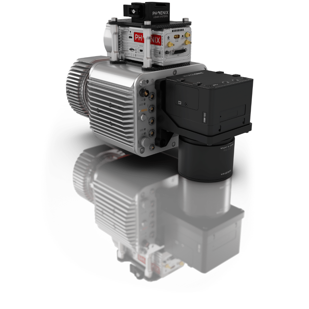
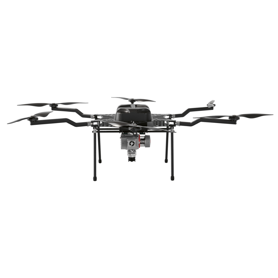
FLY IT, DRIVE IT, MOUNT IT ANYWHERE. THE MOST ADAPTABLE MAPPING SYSTEM
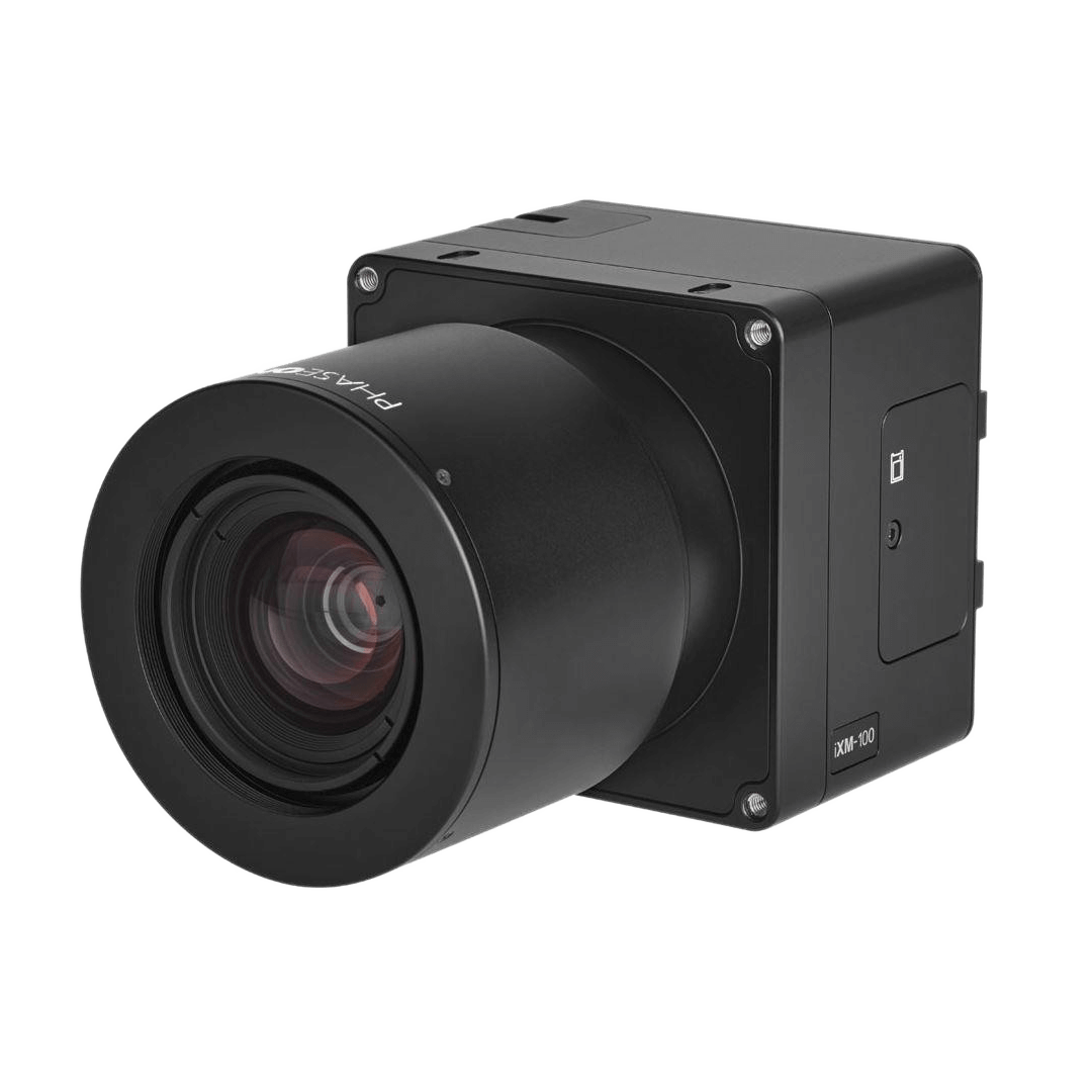
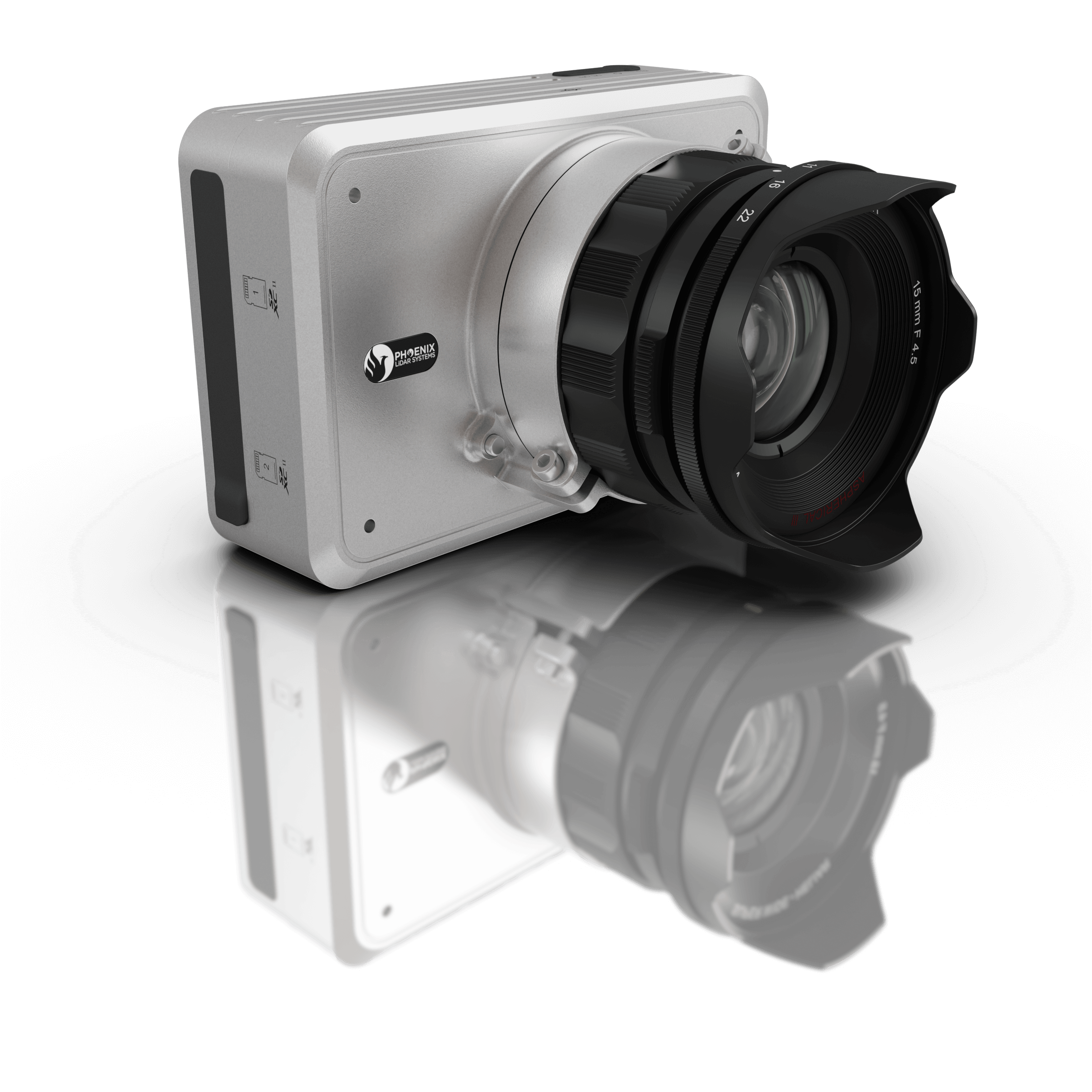
The RANGER-UAV22 LITE adds high pulse rate measurement capability to a scanner that excels at measurement accuracy. Ideal for completing UAS missions with the highest degree of data quality, this member of the RANGER lineup is vehicle-flexible and is an excellent choice to suit many roles. High-density UAS missions, detailed mobile mapping projects, and even low-altitude piloted aircraft surveys can all be conducted.
This system is available in UAV, VTOL, helicopter, vehicle, and backpack configurations, depending on your needs.
1.5-3.0 cm
RMSEz @ 120 Range
1200 kHz
Pulse Rate
490 m
Rec. Max AGL
755 m
@ 20% Reflectivity
4.15 kg
Weight
Primary Applications

Utilities

Oil & Gas

Railway

Construction

Mapping
Primary Applications
VTOL
UAV
Vehicle
Heli
Backpack
Custom LiDAR Solutions
Build the system you need to meet the growing demands of your clients in varying industries, from mining to agriculture and construction to forestry.
-
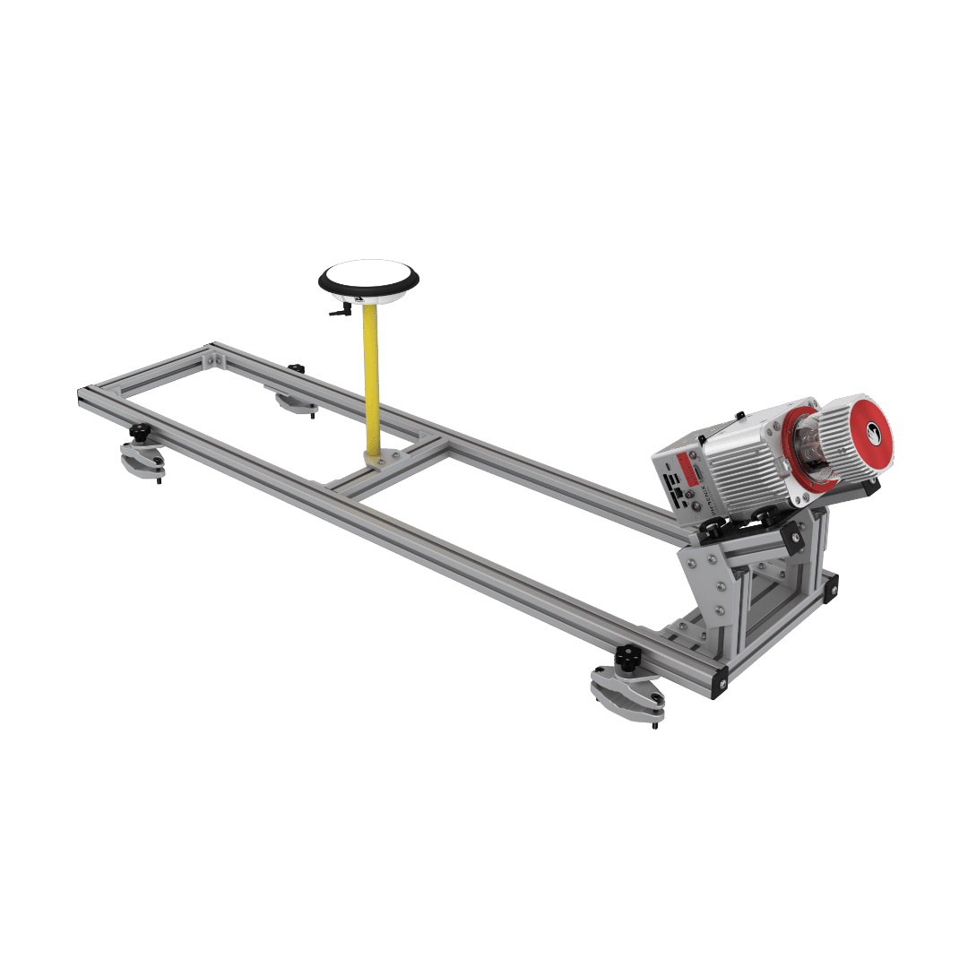
Ideal for configuring heavier mapping payloads on medium and heavy lift UAV
-
Survey-Grade (cm-level) accuracy with 1415m+ laser range and outstanding intensity calibration on high altitude and high speed missions
-
Penetrates vegetation to produce accurate results
-
Phoenix Software Suite compatible; plus NovAtel & Terrasolid options also available (fee may apply)
-
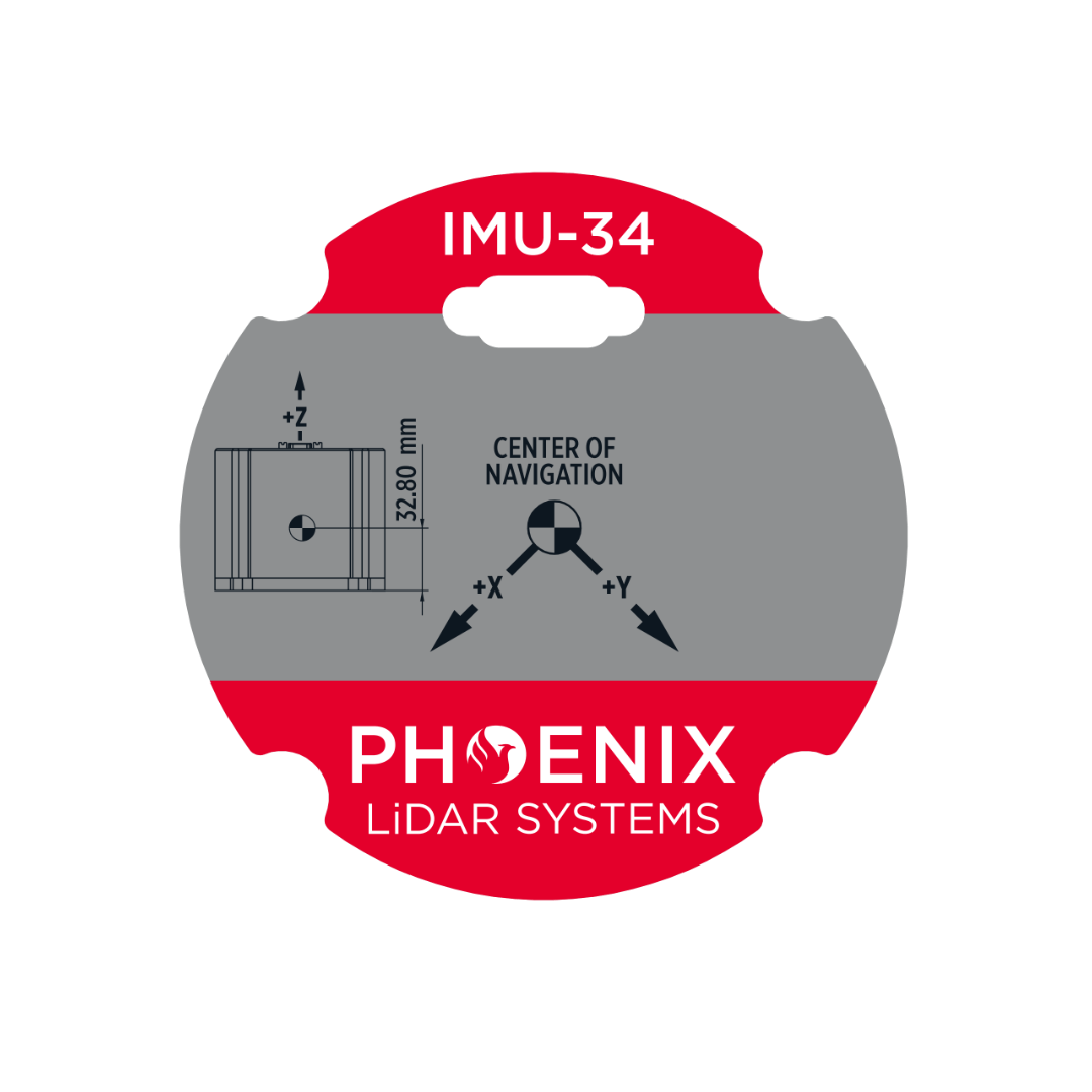
High accuracy due to precision Fiber Optic Gyro IMU
-
Live/Remote Data Feed: View and analyze data in real time or transmit live data to remote viewers via 4G connection
The "Universal Soldier" of LiDAR mapping systems.
-
Aerial systems
-
IMU and dual-GPS upgrade options for increased accuracy
-
Integrated UHF radio modem
-
Optional ground vehicle & UAV mounts/accessories
-
Service plans
Accessories & Options
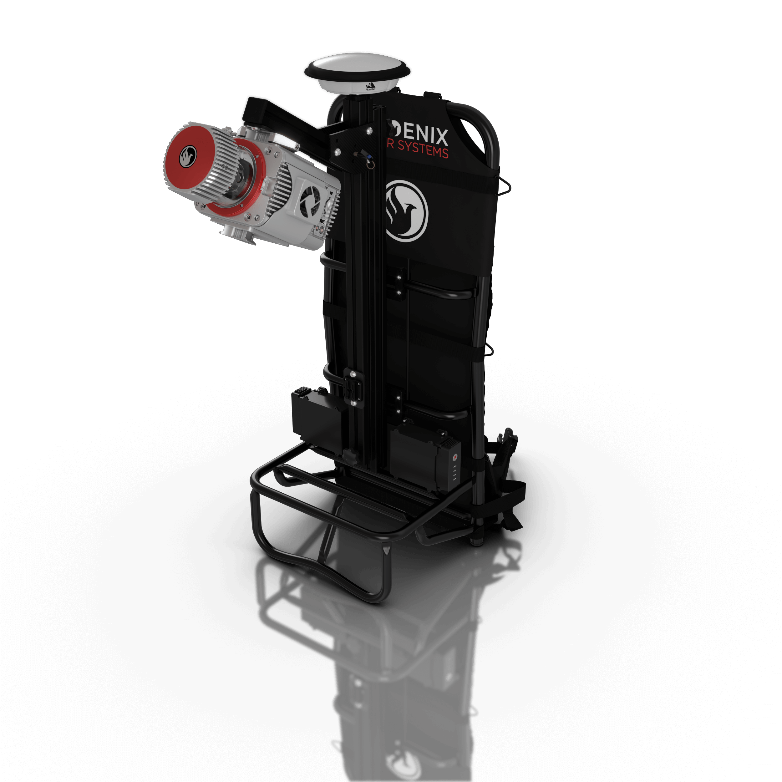
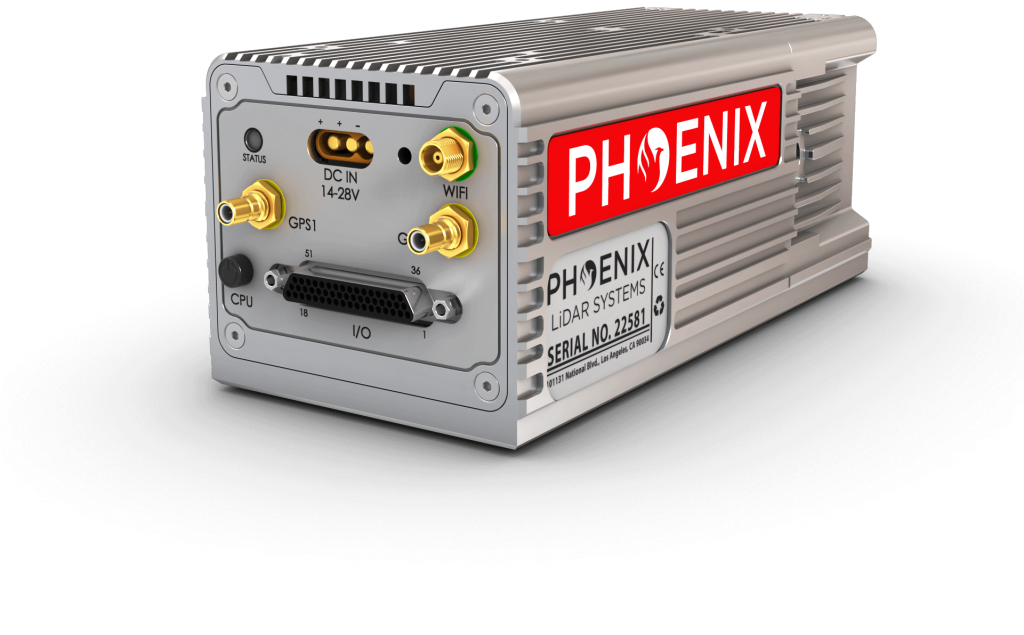
Featuring the Phoenix LiDAR AIR NavBox
This RANGER system includes Phoenix LiDAR’s AIR NavBox. The newest generation, ultra-lightweight rover will help meet the rigorous demands of various industries and applications by greatly increasing flexibility in key areas:
-
Reducing weight to allow longer flight-times on lighter UAVs.
-
Much improved data throughput to accommodate multiple sensors producing more data as pixel count and pulse repetition frequencies increase.
The Phoenix LiDAR AIR NavBox offers the most industry-altering capabilities in a tiny box not much bigger than a standard-size computer mouse.
Dimensions:
60 x 125 x 50 mmWeight: 450g
Control via button, 4G, wifi/ethernet
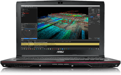
Phoenix Software Suite
Phoenix LiDAR Systems provides a proprietary complete software suite for streamlined acquisition, geo-referencing, data fusion, export and post-processing in the cloud.

Learn how the RANGER-UAV22 LITE can help you grow your business now.
Visit our YouTube page for more videos, tutorials & more.