May 18, 2023
News
Find out what's new at Phoenix.

May 16, 2023

March 19, 2023

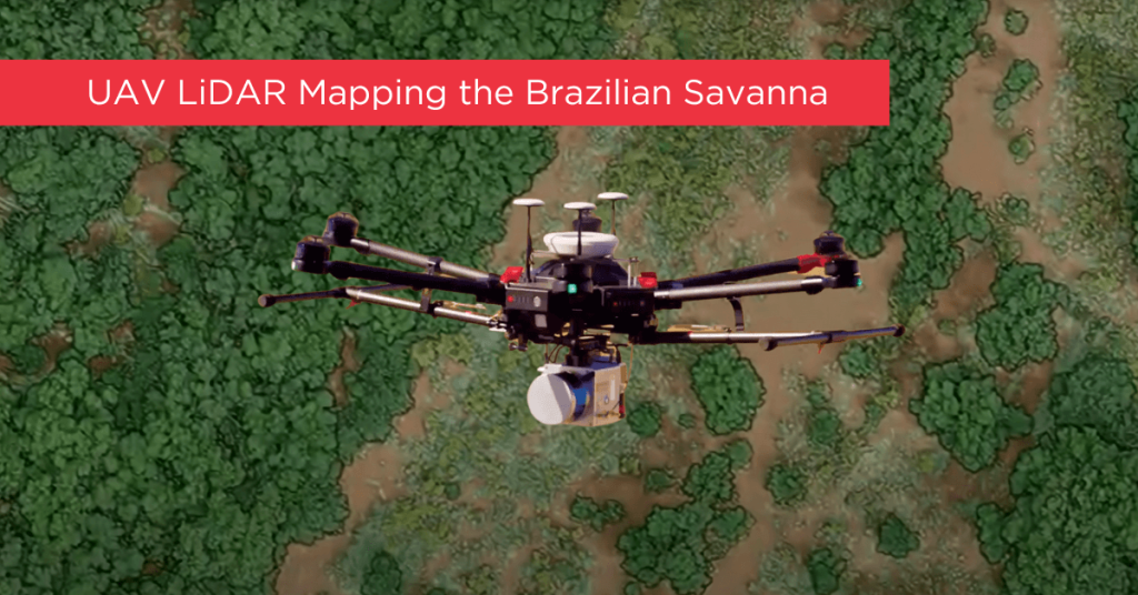
LiDAR 3D mapping is a versatile technology that unlike passive sensing methods such as photogrammetry can penetrate vegetation and operate in dark lighting situations. LiDAR is a more applicable, user-friendly technology providing data that is faster and easier to process.
February 23, 2023

Geo Week 2023, the largest event in the geospatial industry, wrapped up with a flurry of exciting developments and innovations. With over 2400 participants, the conference brought together professionals from across the field to share their knowledge and expertise. […]
February 22, 2023

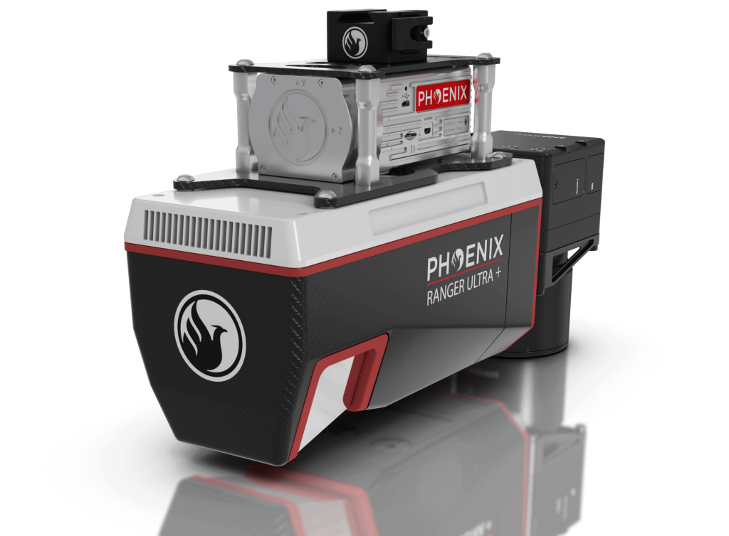
The RANGER-ULTRA+ adds range and density capabilities to an already unrivaled mapping system. It’s unique forward and rear looking field of view was designed to minimize laser shadowing and […]
February 2, 2023

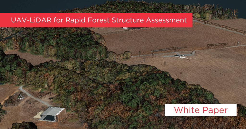
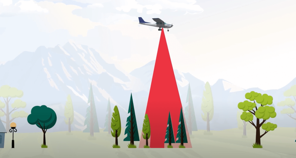
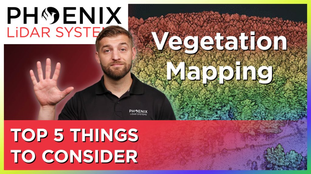
Mapping accurately through vegetation is challenging. And while photogrammetry can be used for bare earth mapping, it is not nearly as effective as LiDARLiDAR, or light detection and ranging, is a tool used to quickly, accurately and densely measure 3D features from the world around us. LiDAR is a form of “remote sensing” - meaning we aren’t physically measuring things with our hands, but rather, using sensors. for mapping through thick vegetation.
January 11, 2023

Mapping accurately through vegetation is challenging. And while photogrammetry can be used for bare earth mapping, it is not nearly as effective as LiDAR for mapping through thick vegetation.
January 4, 2023

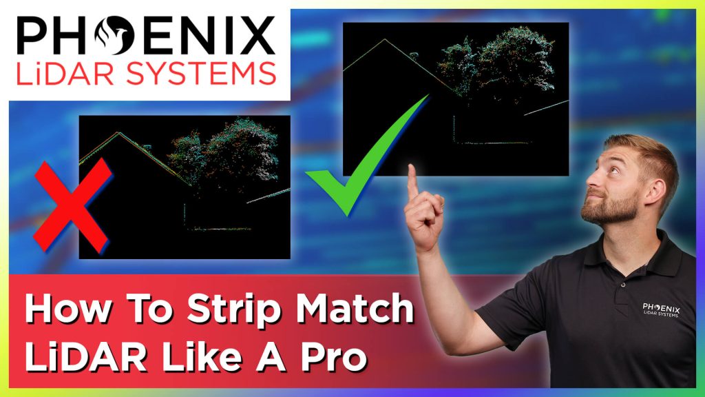
Learn why strip matching is a crucial step in providing the highest quality point clouds and how to achieve those accurate results in the simplest way possible.
January 4, 2023

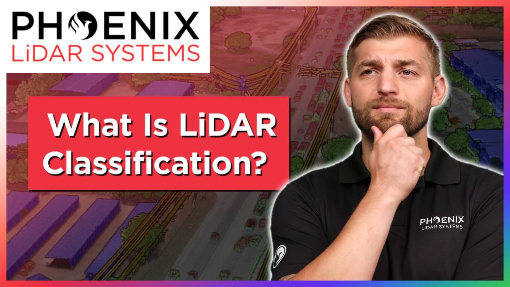
Learn all about the the fundamentals of LiDAR classification. What LiDAR classification is. Why LiDAR classification is important. And the BEST WAY to classify LiDAR data.