Detecting successional changes in tropical forest structure using GatorEye drone-borne lidar
November 1, 2020
Comparing high-resolution satellite and GatorEye UAV lidar data for trail mapping in mixed pine and oak forests in central Florida using a participatory approach
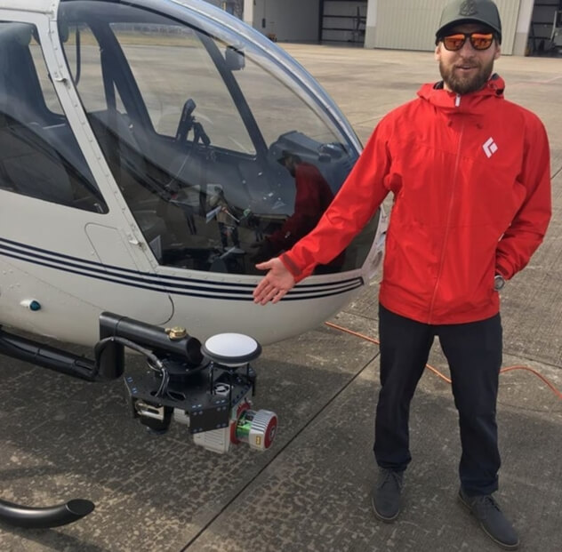
December 1, 2020On October 27th, our lead geomatics engineer, Kory Kellum, presented at the 2020 Oregon UAS Drone Summit. In his presentation “UAS LiDAR System Considerations,” he discussed the various parts and components of a UAS LiDAR solution. If you have been considering using UAS LiDAR, this presentation is the perfect starting point. Kory covers everything you need to know in order to make an informed decision and select the right solution for your business requirements. Click here to view the presentation!


